WestPokot County to Receive a Boost For Natural Resources

By Benson Aswani,
West Pokot County’s economy is set to receive a huge boost through natural resources activities in the region, this comes after Geographical Information System has held a training workshop in the region.
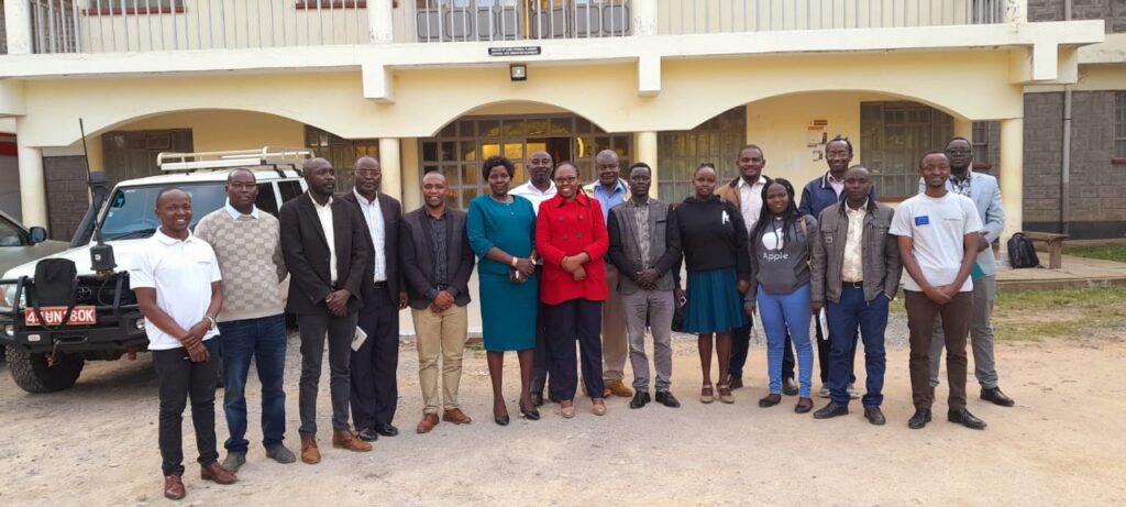
The program which has been introduced by E4 impact foundation has organized a three-day workshop to train officials from the Ministry of Land department in West Pokot County.
According to officials the training will teach stakeholders on how to use the geographic system laboratory that will be used to highlight digital land issues in West Pokot.
Speaking during the session which was held in Makutano on Wednesday 15th Elijah Wekesa an official from the foundation, stated that the laboratory will be used to identify areas with various resources in the county and place them on the county map.
“We are conducting a three-day training for officials from various departments in this county, especially the land department, regarding the use of the geographic laboratory that will be used to determine where the resources are in this county,” said Wekesa.
Likewise in his remarks, Wekesa noted that the laboratory, identified as Geographical Information System,(GIS) has been well equipped.
“This laboratory has all the necessary equipment, but the officers who are supposed to use it do not have information on how it should be used, and that is why we are here to make sure that they get an understanding of the use of these equipment,” he said.
Similarly while welcoming the program the officer in charge of the GIS system in the Ministry of Lands,in WestPokot County, Mourine Nasimiyu, said that the new technology will greatly help in putting the county at a level that will be a model for other counties.
“The use of this GIS system will be of great benefit to this county, and now it will be used by other counties as a role model,” said Nasimiyu.
On his part, the West Pokot County’s Minister of Land Esther Chelimo said the use of the system will greatly reduce land disputes, as well as simplify the storage of records of every activity that takes place in the land department as well as other government departments.
“This GIS system will help preserve all records related to land issues and reduce land disputes that have existed for many years in this county,” said Ms. Chelimo.
